A First Walk Along an Unfamiliar Shore
Plan a first walk along an unfamiliar shore with a simple route, useful pauses and a clear way to notice how the city’s shoreline changes as you go.
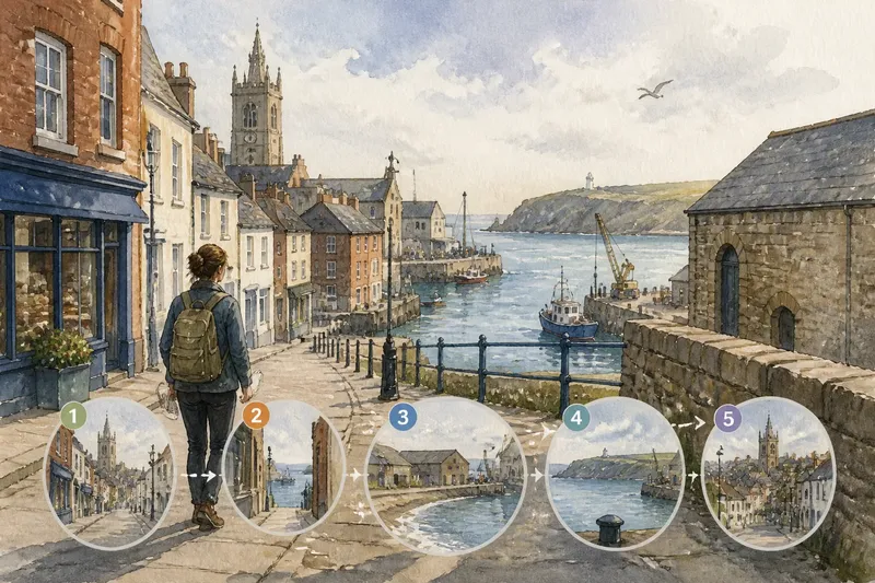
A first walk along an unfamiliar shore is easier to remember if you follow one change in the landscape rather than trying to cover the whole waterfront. Choose a route that moves from an inland street to the water, then look for how the ground, buildings and sounds shift along the way.
This first-visit method is less about tracing public access or inspecting boundaries than about noticing transitions. A map, comfortable shoes and a few minutes to stop are enough. Think of the walk like turning the pages of a small picture book: each change in setting tells you something about the city’s relationship with its shore.
Pick a changing view
Start with a feature you can recognise from a map or street sign, such as a market, a church, a bridge or a bus stop. Choose a nearby point on the shoreline that gives you a reason to walk towards it: a bend in the coast, a visible headland or the mouth of a river. The aim is not to collect landmarks, but to notice how the view develops between them.
Say you arrive in the invented coastal city of Bellwick on a mild afternoon. Your starting point is Market Street, and from there you can see a church tower inland and a break in the roofline towards the water. You decide to walk towards that opening, then continue until the buildings give way to a view across the harbour entrance.
Before setting off, check the local map for an ordinary public route between those points. Keep a simple way back in mind, and follow posted notices on the ground. If a street or path is closed, choose another clearly open route rather than trying to get around a barrier.
Notice the approach
As you walk towards the shore, watch how the view changes in stages. The water might first appear between buildings, disappear behind a block, then return at a street opening. A rising road may reveal the horizon earlier than a flat lane. These small shifts tell you how the city’s shape controls what a walker can see.
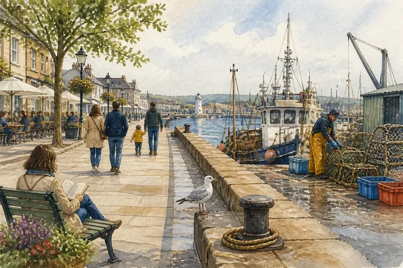
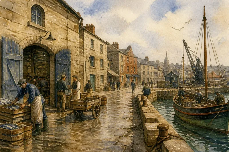
Look at the buildings, too. A row of shops can make the approach feel busy and enclosed; warehouses or open yards may leave the street quieter and broader. Notice where the pavement changes, where a side street points towards the water, and whether the sound of traffic gives way to gulls, ropes or harbour machinery.
Keep the observations plain and specific. “Water first visible beside the bakery” or “church tower disappears after the bridge” is easier to recall than “nice walk”. If you use a phone, mark a single place where the view changes rather than stopping to record every detail.
Track the shoreline
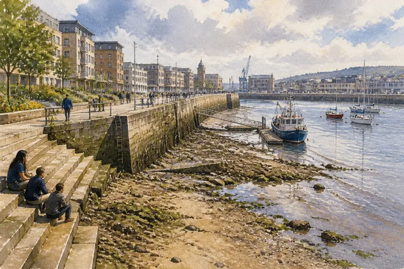
Once the water comes into view, follow how its edge changes the scene. A river mouth may open into a broad inlet; a sheltered basin may sit behind a narrow entrance; a beach may curve away from a hard quay. The shoreline’s shape can make one stretch feel enclosed and another feel exposed, even within the same walk.
Notice the direction of the view. A path facing across a harbour shows boats and the opposite bank; a route running parallel to the coast may offer glimpses rather than a full panorama. Buildings can frame the water like a window, while a bend in the shore can hide what lies ahead until you reach it.
Stay on routes that are plainly open to the public and pay attention to local signs. A working harbour may have areas reserved for staff, deliveries or vessels. You can learn a great deal by observing how its structures meet the public landscape from an appropriate place.
Make three pauses
Three short pauses are usually enough to give a first walk a clear shape. Choose places where something changes, not simply spots with a good view:
- At the start: Check what landmark you can see towards the shore. If the view is blocked, note which building or street hides it; if it is open, follow the visible line towards the water.
- At the first glimpse of water: Check whether the water appears through a gap, above a rise or at the end of a street. If it is only a narrow glimpse, continue towards the next opening; if it is broad, pause to notice what frames it.
- Where the shoreline changes form: Check whether the edge shifts from beach to quay, inlet to open water, or planted bank to hard paving. If the change is easy to see, note what sits beside each part; if it is hidden by buildings, keep walking to a public viewpoint.
- At the furthest point: Check which feature now anchors the view, such as a bridge, headland or harbour entrance. If the view feels enclosed, turn to see how the street grid holds the water; if it opens widely, look for the landform that contains it.
- On the return: Check which landmark is visible behind you and whether the route looks different in reverse. If the view has changed, note what you missed on the way out; if it feels familiar, compare the sounds or activity with your first pass.
- At a comfortable stopping place: Check whether you can pause without obstructing other people. If the spot is crowded or exposed, move to a nearby public bench or wider pavement; if it is comfortable, take a moment to write down one useful observation.
Questions about first walks?
How do I choose a starting point?
Pick a place you can identify easily, such as a named square, station or bridge. A recognisable start makes it simpler to focus on how the route and view change as you approach the water.
What should I look for at the shore?
Notice the shape of the coast, the direction of the view and how buildings or landforms frame the water. These features help distinguish an open bay from a sheltered harbour or a river meeting the sea.
What if the water is hard to see?
Continue along a clearly public street or path and look for another opening, rise or bend. If buildings keep the water out of sight, note that too: the city’s layout can shape a shoreline walk even when the view is hidden.
Is a return route useful?
Yes. Walking back the same way can reveal landmarks you faced away from, while a different public street can show how the shoreline connects with another part of the city. Choose the option that is clear and comfortable on the day.
Read the walk as a sequence
Imagine that Bellwick’s visitor reaches the harbour entrance, where the view opens between a stone warehouse and a low headland. On the return, the church tower reappears above the roofs, and the visitor realises that the street’s gradual rise explains why the water became visible before the shore itself. The starting inputs were a familiar street, a visible gap in the roofline and a mapped public route; the actions were to follow the opening, pause at the first glimpse and compare the view on the way back. The resulting answer is a simple one: the city reveals its harbour through a rising street, while the warehouse and headland frame the entrance.
That is a useful outcome from a modest first walk. You have a clearer sense of the shoreline’s shape, the landmarks that orient you and the points where the view changes. The main phrase for planning the outing is first walk along an unfamiliar shore: choose one visible transition, take the public route towards it and leave time to notice what the city shows you along the way.